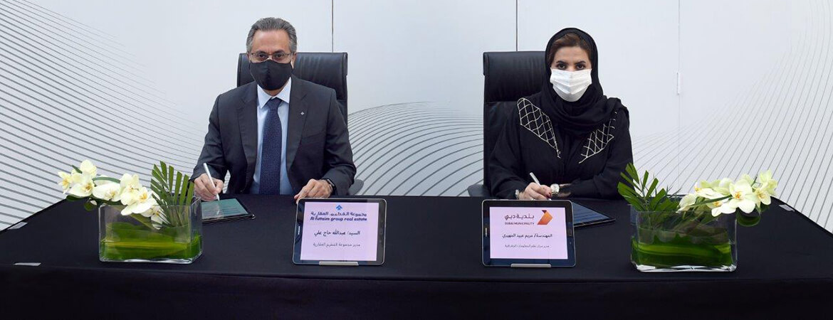
As part of achieving the implementation of the initiative to transform Dubai into a smart city, Dubai Municipality has launched the Makani smart system for addressing geospatial units. The system will be the first of its kind in the world.
It is an extension of the existing Makani system of entrances, as the new addressing system has been developed to include all types of units within the buildings, whether they are residential units, shops, offices, etc., and the engineering data for the buildings have been prepared according to 3D standards consistent with the GeoDubai initiatives and the Digital Twin requirements of the emirate and its inclusion in the geographical database.
The implementation of the Makani initiative in a number of buildings is an important step in the process of implementing the smart city map initiative.
