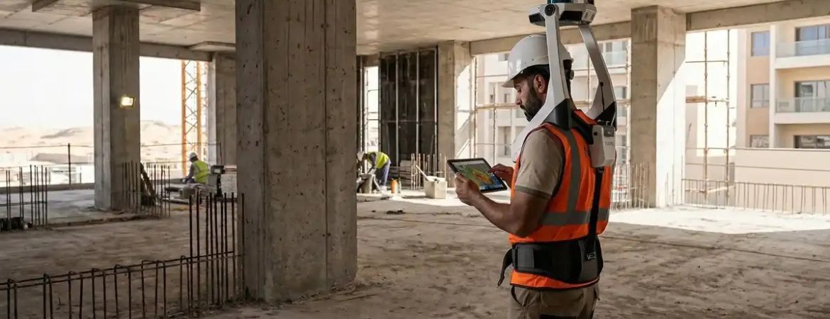
Advanced Geospatial Solutions Supporting Infrastructure, Aviation, Marine And Landmark Projects Across The GCC.
As the UAE continues to invest in world-class infrastructure, smart cities, aviation, transport, utilities, and waterfront developments, the importance of accurate geospatial intelligence has never been greater. Behind every successful construction project lies reliable survey data, enabling engineers, consultants, and contractors to design, build, and manage assets with confidence.
25 years of engineering survey expertise
For more than two decades, Dubai-based Al Warqa Survey Engineering has established itself as one of the region’s leading engineering survey specialists, delivering comprehensive land, aerial, marine, and digital surveying services throughout the UAE, Saudi Arabia, and the wider GCC. Established in 2001, the company has completed more than 15,000 projects for over 5,000 clients while continually investing in advanced surveying technologies and digital engineering capabilities.
Geospatial services that support every stage of a project’s lifecycle
Today, Al Warqa Survey Engineering provides an end-to-end portfolio of geospatial services that support every stage of a project’s lifecycle. From initial feasibility studies and master planning through construction, handover, and long-term asset management, its survey teams deliver highly accurate spatial information that helps reduce project risk, improve coordination, and accelerate decision-making.

Its core services include topographic and terrain mapping, engineering and cadastral surveying, construction setting out, as-built verification, underground utility detection, hydrographic and bathymetric surveys, concrete scanning, and non-destructive road crossing surveys. These services are complemented by advanced digital solutions including Building Information Modeling (BIM), GIS development, digital twin creation, and Scan-to-BIM workflows.
Advanced LiDAR, drone, and GIS capabilities
Technology remains central to the company’s continued growth. Al Warqa Survey Engineering utilizes mobile LiDAR mapping systems, UAV drone photogrammetry, terrestrial laser scanners, GNSS positioning equipment, hydrographic sonar systems, and ground penetrating radar (GPR) to capture survey-grade data across complex environments. These technologies enable rapid, highly accurate mapping of transportation corridors, urban developments, industrial facilities, airports, coastlines, and marine infrastructure while producing engineering-ready deliverables for project stakeholders.
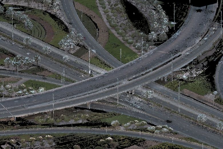
The firm’s capabilities have seen it contribute to numerous high-profile developments across the UAE. Among its flagship assignments is the Palm Jabal Ali Development, where integrated topographic, aerial, mobile mapping, and bathymetric surveys supported one of Dubai’s largest waterfront masterplans. The company has also delivered extensive ground penetrating radar and underground utility mapping for the RAK Gas Pipeline, helping safeguard construction activities and improve underground asset management.
Supporting landmark UAE infrastructure developments
In the hospitality sector, Al Warqa Survey Engineering completed detailed as-built surveys for a 42-story luxury hotel tower, providing accurate documentation to support handover, compliance, and future facility management. Additional projects showcased within its portfolio include aerial mapping for Dubai Creek Harbour, road infrastructure surveys, industrial laser scanning, coastal hydrographic mapping, commercial BIM modeling, and GIS utility network development.
Precision data powering smarter project delivery
Beyond traditional surveying, the company has expanded into aviation and digital engineering, offering Obstacle Limitation Surface (OLS) surveys, aeronautical studies, drone inspections, and digital twin development for airports and complex infrastructure assets. These services are increasingly important as the UAE accelerates investment in smart infrastructure and data-driven asset management.
Operational excellence is reinforced through internationally recognized certifications, including ISO 9001 for quality management, ISO 14001 for environmental management, and ISO 45001 for occupational health and safety. The company is also registered with key UAE authorities, including Dubai Municipality and Abu Dhabi Municipality, ensuring compliance with regional engineering standards and regulatory requirements.
Having expanded operations into Saudi Arabia while maintaining strong delivery capabilities across the GCC, Al Warqa Survey Engineering continues to evolve alongside the region’s ambitious construction agenda. By combining experienced survey professionals with cutting-edge geospatial technologies, the company is helping developers, consultants, contractors, and government agencies make informed decisions based on precise, reliable spatial intelligence.
As increasingly complex infrastructure projects demand greater digital integration and engineering accuracy, firms such as Al Warqa Survey Engineering are playing an essential role in transforming raw field measurements into the trusted data that underpins modern construction.
FOR MORE INFORMATION: